A hikers´paradise
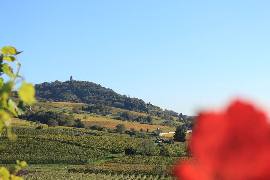
Together with the neighbouring Ried (fomerly marshland), the Bergstrasse is an eldorado for walkers. The chain of hills between Darmstadt und Heidelberg is crowned with more than 30 castles and fortresses that can be explored via the Burgensteig (Castle Trail) and Blütenweg (Blossom Trail). The tours along the Bergstrasse that are marked by the Odenwaldklub hikers’ association intersect with the Nibelungensteig and Neckarsteig trails, the Alemannenweg and other long-distance walking trails. There are also a number of themed routes along the Bergstrasse, such as wine, asparagus and orchard trails, as well as mill paths, quarry trails or architectural tours. In some cases there are public walking events. You can book a ranger to accompany you via the Bergstrasse-Odenwald UNESCO Global Geopark.
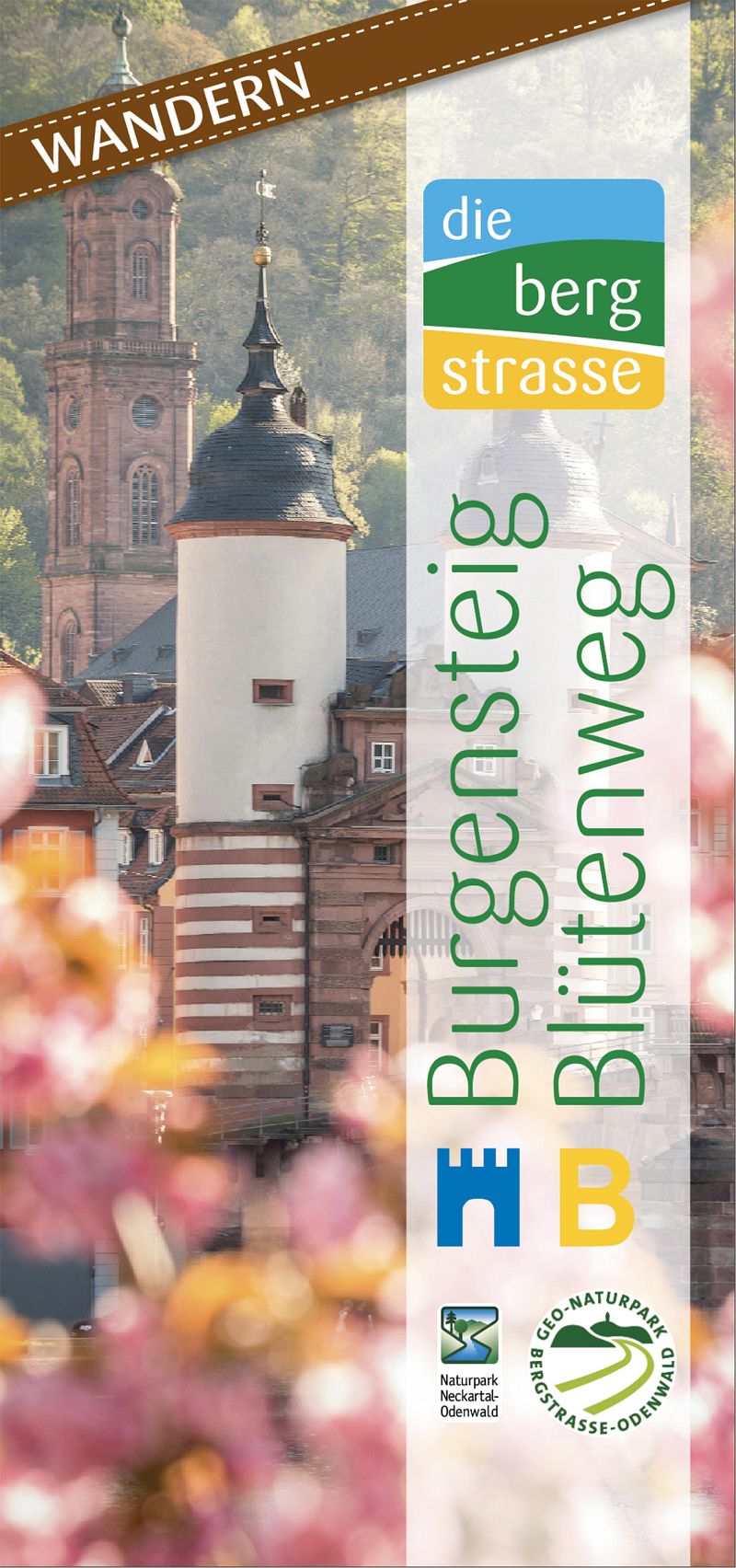
Burgensteig und Blütenweg
Guide only available in German discribes the main tails. The 120 km-long Burgensteig Bergstrasse with its nine half-day hiking tours, and the tours along the Blütenweg are described in a brochure that you can download as a pdf, order or install on your mobile device via Outdooractive. For the Burgensteig Bergstrasse and the Blütenweg can be combined to roundtours, you find in the relevant pdf in German here.
Hikers´ maps of the Bergstrasse region
Meki Verlag has published a map of the entire Bergstrasse region. It is printed in four colours on a scale of 1:30,000 and can be downloaded to a tablet computer or smartphone via QR code. The map is weatherproof and tear-resistant, and contains the Castle Trail (Burgensteig), the Blossom Trail (Blütenweg), the Alemannenweg trail and parts of the Neckar and Nibelungen trails. It also contains many other hiking and cycling trails between Darmstadt and Heidelberg. UTM coordinates are available for use in GPS systems. The Publicpress Verlag has issued two maps of the Bergstraße on a scale of 1:50,000 that divide the region up into the northern and southern parts of the Bergstraße.
The Bergstrasse-Odenwald UNESCO Global Geopark has separately published more information and maps on a scale of 1:30,000. The maps are divided into the northern and southern parts of the Bergstraße. The tourist information offices along the Holyday route Bergstrasse between Darmstadt and Heidelberg offer these and other maps for sale.

Explore the wine education and geodiscovery trails
Many of the Bergstrasse’s vineyards lie along the Blütenweg (Blossom Trail). There are a lot of information boards for hikers along the “Wein und Stein” (Wine & Stone geodiscovery trail ) near Heppenheim and wine education trails in other places. Guided tours with wine tasting can also be booked.
Mehr
Adventure Geocaching
Find hidden clues or goodies using coordinates. Geocaching and other programs in nature are suitable for groups with children or as a team building event.
MehrBurgensteig
Weinblick
Blütenweg
Steine, Schluchten und Sagen
7-Hügel-Steig
Hügelgräber
More tours on Outdooractive!